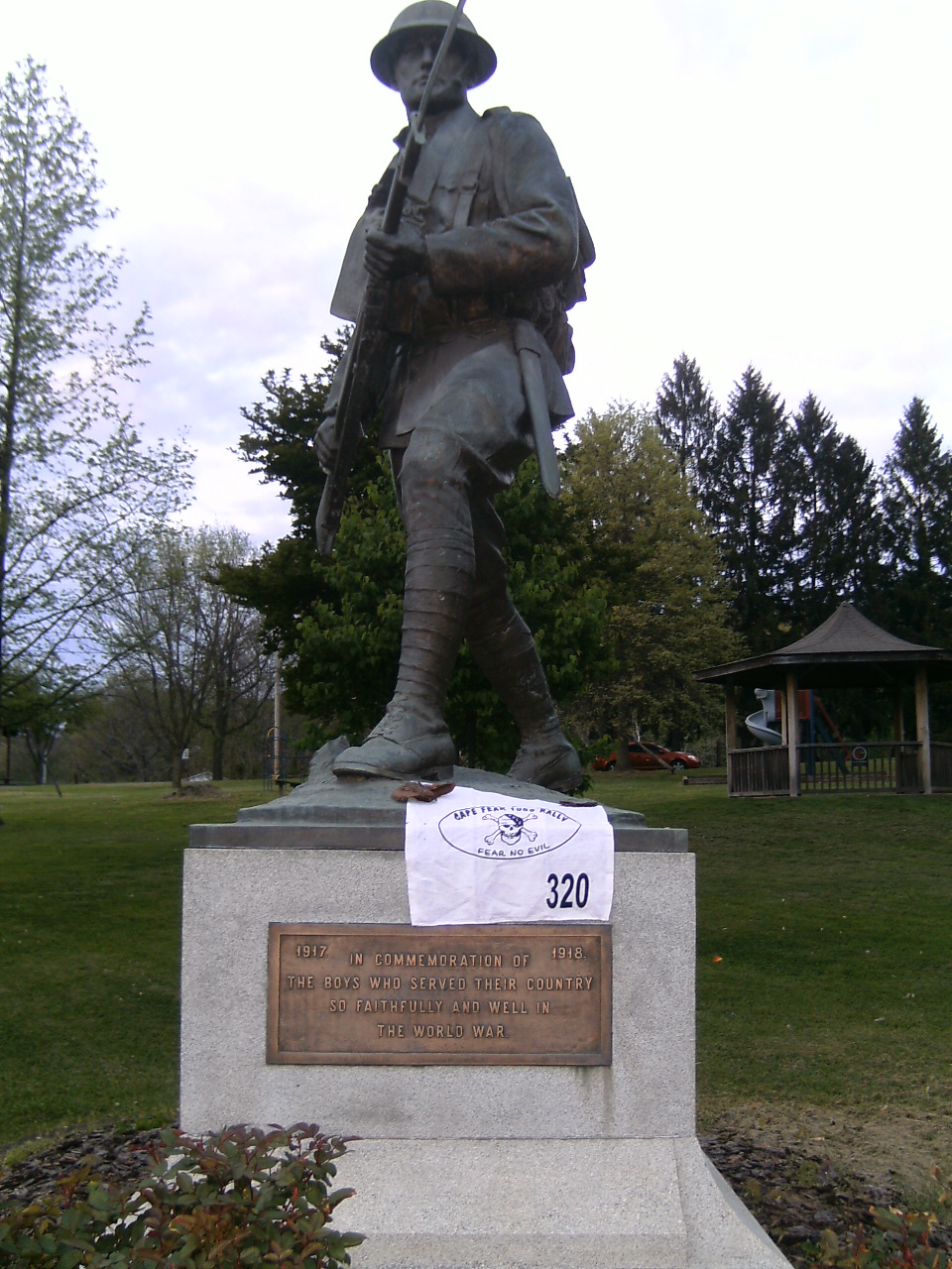
Disclaimer: The first part of the report is mostly personal reflection and non-motorcycle related, so feel free to jump down to "RALLY" to get to the meat of the report.
The Road to Broken Arrow
Solitude on the bike is usually a great thing and something that I cherish on most of my rides. In fact, I cherish it so much that I have disconnected the cell phone from my helmet's audio system. But there is a dark side of solitude that can, and does at times, rear its head and it can be one heck of a demon.I signed up for Michael's fall rally because I have always heard great things about his rallies and I have never ridden in Oklahoma before. Actually, I do not believe I have even stepped foot within it's borders. Plus with Stillwater being so close to Tulsa, I would be able to see my friend, Jason. So off I head to Oklahoma on Friday morning at the ungodly hour of 2:30 a.m. Riding this early in the morning generally treats me well and as I headed out, it was a little brisk but nothing too bad. I made my way to my first stop in Birmingham, right on schedule. As the sun started to rise, I found myself having more and more trouble remaining focused on riding as I got colder (it was now in the upper 40's). Recognizing the signs of fatigue and since falling asleep on a motorcycle is the last thing you ever want to do, I make the smart decision to get off the bike, warm up, and get something to eat.
After a brief break, I am back on the road and back to feeling good as I head toward Memphis. Riding through South Memphis is just plain unpleasant between the rain showers that I am riding in and out of and the damn truck traffic (South Memphis must be the epicenter of freight distribution). However, that proved to be easy compare to the pending demons lurking in the foreground. Shortly after entering Arkansas, my thoughts start turning sinister in my head. No longer are they about the morning and the anticipation of the Oklahoma adventure that I've signed up for, but they become fixated on my pending divorce, the fact that my wife has left me, what I could have differently to prevent this from happening, what she could have done, and the fact that my desire to be there for my son will be terribly challenged in the very near future. At first the thoughts are just the typical unpleasant nagging sensations, but as the day continues the thoughts of my pending loneliness start to build to a point where this whole trip is starting to seem completely fruitless. Try as I might, the black clouds hang around until I ride into Broken Arrow, 850 miles and 14 hours after leaving Athens. I pull into the Super 8 to check into the motel with the very serious thought of sleeping for a few hours and then turning around to head back to Athens.
A nap and then a quick shower starts to shake the cobwebs, a call to a few friends back in Georgia further starts to bring me back to realization that I am doing what I love (rallying) and that I am not going to be completely alone when I get back to Athens. By 5:30 p.m., I am feeling like myself and head over the pre-rally barbeque at Michael's house about 10 minutes from the hotel.
Autumn Equinox Rally
One of the highlights of Michael's rally is how well he takes care of the riders. The night before the rally he hosts an informal gathering of riders at his home for some last minute rally details/instructions, but most importantly, food and more food. Since I am the rider who has traveled the farthest of all the rally participants, at first I feel a little bit on the outside of the group (most who know each other and have ridden in Michael's rally in the past), but it is not long before I feel welcomed and enjoy hearing the stories that most rally participants love to tell about previous rally efforts and anticipation of this one - especially if and when he will drop some game changer. The dinner is quite fulling and the food seems to be endless. Then Michael lets us know that he has added another bonus location that will be dynamic. There is a Facebook group called Iron Butt Tag (http://www.facebook.com/groups/122124624476905/) where you are supposed to take a picture of your motorcycle in front of a designated object. If you successfully do that first, you get to choose the next object. The current object is a National Park Service sign. Michael then states that for each tag you start he will award 1,000 points. He further informs us that the closest National area is the Fort Gibson National Cemetery (http://en.wikipedia.org/wiki/Fort_Gibson_National_Cemetery). Whereas it may not be considered to be a National Park, he will accept it. I really don't have any interest in playing during the rally, but I join the group on Facebook anyway thinking that it would be fun to do in the future. Michael also passes out our "rally flag" which are balloons. He further clarifies how the balloon needs to be inflated with the emblem clearly visible in the pictures. He used this flag in the past the the other riders are quick to share their technique to make this an easy undertaking. Actually it was and proved to be easier than the traditional golf towel style flag that most rallies use.Saturday morning all of the riders (8 of us) assemble at Michael's home for a quick rider's meeting and to get any final direction. Some good clarifying questions are asked, but nothing that alters my plan. However, one rider was under the impression that the final score was going to be based on efficiency (e.g., points/miles ridden). There was an e-mail that said that would be the case but it is not in the rally book, after conducting a conference with himself, Michael rules that the finishing order will be determined by total points after Pandora's Box is taken into account (more on that later). That works for most of us, except for the rider who routed for efficiency since he is not sure if he route will hold up on a total point basis. He is visibly disappointed in his route and I thought he may whip out his computer to reroute. But he quickly seems to accept his fate and takes off with the rest of us at the stroke of 10 a.m. We now have 28 hours and the entire state of Oklahoma (plus her contiguous states) to explore.
 My first stop is the Cherokee Nation Heritage Center for a picture of The Weaver Cottage. Apparently, the Cherokee women were accomplished weavers and this cottage is laid out with a loom and other tools of the trade. The Center is a really neat historical educational center that appears to include a number of structures that depict Cherokee life. After a few minutes of searching the Center grounds, I easily find the cottage, snap the required picture and off on my way with 56 miles down.
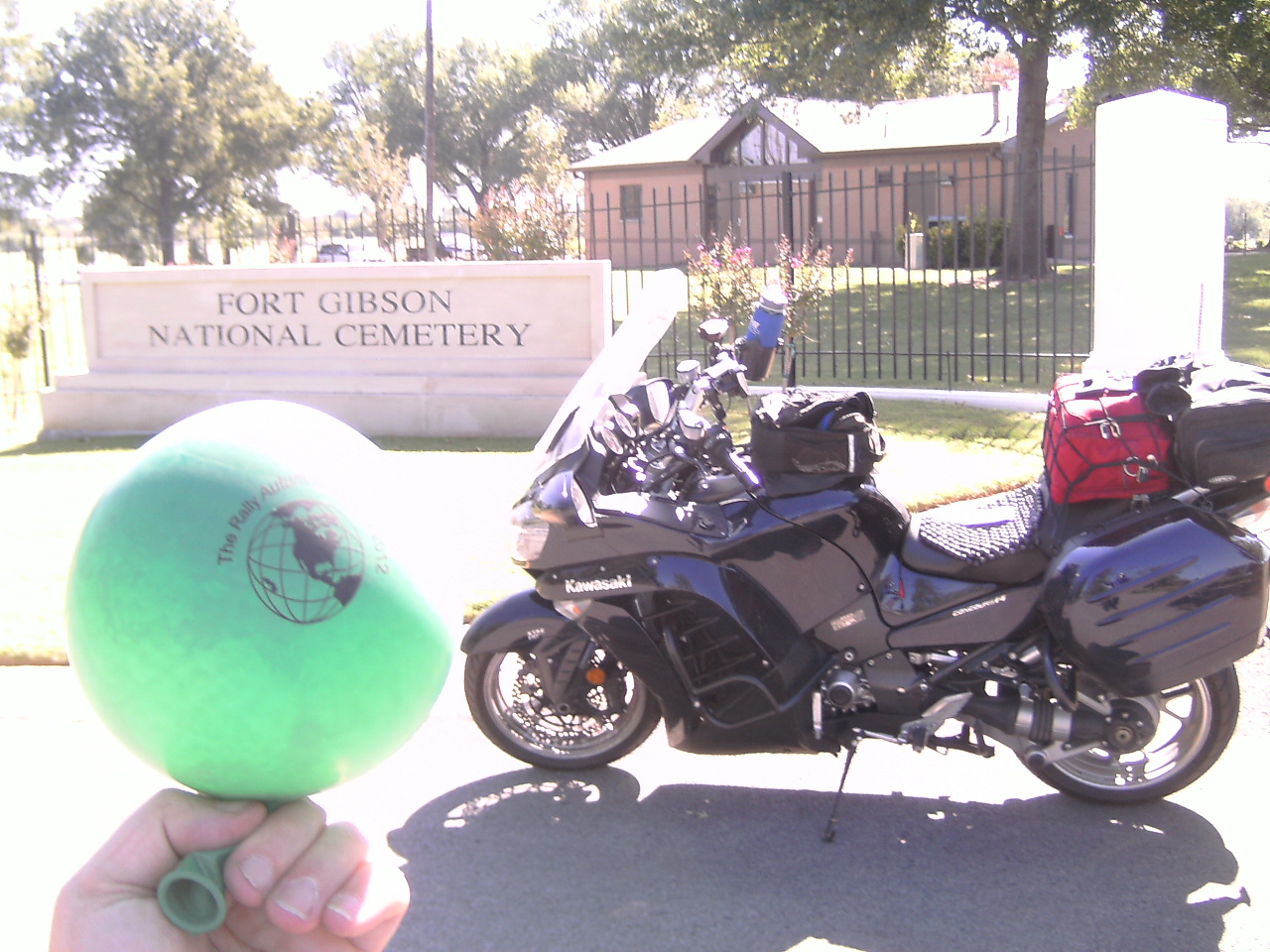 While riding towards the Center, I noticed a sign on US Highway 64 for the Fort Gibson National Cemetery. Hey, isn't that what Michael said would count for the tag??? So after a quick detour, I snap the picture and upload it to Facebook. Since I now own the tag, I decided to get rid of it quickly, so just down the road is a water tower with the High School mascot on it. Good enough for me. So I post this picture and move on my way. (Editor's note: the tag game went on a weird tangent at this point which I will not rehash. Let's just say that the rally participants and the regular players of the game had several disagreements over what was going on and in the end, the rally wound up hijacking the game for the weekend. All is now right in the world and the game is progressing along nicely).
 Next on my route is the Circus bonus which will require the picture of a headstone in the Mt. Olivet Cemetery in Hugo, OK - the winter home of two touring circus companies. This is also the first of my Pandora Box bonus locations - locations within Oklahoma submitted by the riders in which you get the points for visiting the bonus and everyone else will lose the same number of points. It is an easy enough ride down to the southeast corner of the state and I marvel at Lake Eufaula as I make my way through the area. I start playing some mind games second guessing my chosen route. I figure out an alternative route along the way that I think will score me better but will put me much later at my rest bonus that I would like and that will significantly cut into my Sunday route which starts with a time specific bonus that closes at 7:00 a.m. I still haven't decided what to do by the time I ride into the cemetery and take a picture of the required headstone. (http://www.roadsideamerica.com/story/10433). I finally decide to revise my route and start to head out of town, but while getting gas, I second guess my decision and decide to stick with my original route and head off in the opposite direction. But I second (third?) guess that decision and turn around only to second (fourth?) guess it one more time and decide that I will stick with the plan and head south towards Paris, TX. All in all, I probably lost 15 minutes riding around in circles in Hugo (which is so small, that it is hard to do). Past rallies have taught me, to plan the ride and ride the plan. It has served me well in the past and I have no clue why I even started second guessing my route mid rally.
 So now that my original route is back in play, I settle in for a long ride across the top part of Texas between Paris and Vernon along US 82. It is a good ride and road, but hot (well into the mid-90's). Traffic is not too bad and I make decent time, even with a 30 minute break from the heat to get some food and I find my way to Doans, TX and the site of a former ferry crossing of the Red River between Texas and Oklahoma and a adobe building that once served as a general store for the region. I am now 494 miles into this journey and prepare to head back into Oklahoma and further west.
It is quickly becoming dusk and I just simply love the scenery that I am riding through as the day ends. The fields seem to reflect all of the setting suns rays and with the Witchita mountains illuminated by the setting sun off to the east, I am sad to see the day come to an end. As I turn due west at Altus on to US62, I ride directly into the sun as it disappears over the flat horizon. In so many ways, it reminds me a lot of watching the last bits of the sun disappear over the ocean (probably since the ocean is as flat as western Oklahoma appears to be). My only concern with the loss of sunlight, is the increase chances of animal interactions. But I put on the high beams to throw out as much light as possible and try to keep a constant watch as to anything moving in the shadows. I do see a few critters along the way, but nothing major and nothing that found it's way into my path. Traveling through Shamrock, TX to get to I-40, I notice a building on the old Route 66 corridor that I am sure was in the movie Cars. Sure enough - http://en.wikipedia.org/wiki/U-Drop_Inn

 The trip onto I-40 west is easy down a few exits to McLean, TX for a picture of some large balls of barbed wire - the things we have to go to in these rallies is always fun in a warped sense. Anyway, it is a quick turnaround to head back east into Oklahoma and the site of an old jail in Texola, OK. Yes, that "original" sounding name stems from a combination of Texas and Oklahoma and sits on the border. (http://www.theroadwanderer.net/66Oklahoma/texola.htm). In this thriving metropolis of 47 people is the site of a small territorial jail. Even in the complete darkness, it is not difficult to locate and snap the necessary picture and find my way back on I-40 east with 659 miles under my belt.
 Just before 11:00 p.m., I find my way to the Super 8 motel room and settle in for a 6 hour rest bonus, which includes almost 5 1/2 hours of actual sleep. Awakening refreshed at 4:30 a.m., I make my way back onto I-40 with the sole thought of getting to POPS before the ending window of 7:00 a.m. Heading east, I figure that I have enough cushion in my route to go ahead and snag a low point, but very simple bonus just off I-40 in El Reno. It can be dangerous, but sometimes you have to put your faith in the GPS coordinates that the rallymaster gives you to find the bonus. It worked in Texola and as well in this case. So it was a quick detour to the historical monument and back on I-40 I go.
 The rest of my Sunday plan is to ride up and back I-35 hitting various bonus locations east and west of the I-35 corridor before heading back to Tulsa and Broken Arrow. My next stop is the Riverview Cemetery in the abandoned oil lands called the Three Sands Field (http://digital.library.okstate.edu/encyclopedia/entries/T/TO006.html). Like most long distance rallyists, I run two GPS while on the bike. One I have set to exclude routing on gravel or unpaved roads. So when that one is telling me that it is impossible to reach the destintion, I know that I have dirt in my future. The 4 miles of dirt roads to get to the cemetary and then back out really were not too bad. They were dry and mostly hard packed and obviously see a lot of traffic. Albeit, it is still unnerving to be riding on gravel and the soft areas that pop up from time to time, the ride over to the cemetery is fairly easy and successful with 916 miles under my belt
 Away from the gravel, I head another exit north on I-35 towards the Marland Mansion (http://www.marlandmansion.com/). It is a really easy ride on a sleepy Sunday morning. As I am leaving Paul arrives and we talk for a few minutes. It really is amazing how riders cross paths throughout the rally even when there is only 8 of us. So I turn around and head back south on I-35 to Guthrie.Shortly after getting on I-35, I pass 1,000 miles in less than 24 hours for another unofficial Saddlesore 1000.
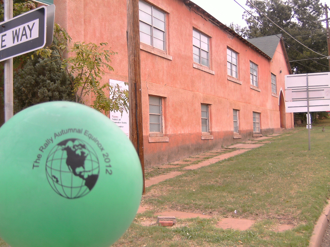 Guthrie actually has two bonus locations within 1 mile of one another, but since the rules of the game prohibit you from claiming two bonuses in a row that are within the same quadrant of Oklahoma as defined by the I-35 and I-40 corridors, I can only bag one at the moment. So I decide on getting the first territorial jail to complement the one in Texola. It certainly has fallen on hard times and hopefully is on it's way to renovation.
 Since I have to get on the other side of I-35 before returning to Guthrie, I wanted to hit the Seaba Motorcycle Museum (http://www.seabastation.com/) but afraid that it may make my arrival at the final bonus location too late. So I drop it in favor of the easier Round Barn. (http://www.arcadiaroundbarn.com/Round_Barn_Website/HOME.html) Plus this location is another Pandora Box bonus so it will at least provide some damage to the other rider's scores. I get to ride past Pops again so I use the chance to get the splash of gas that I need to finish my route and to enjoy another bottle of soda.
 After the barn, it is back to Guthrie for the Pandora Box bonus that I submitted, the Guthrie Boy's Home, which is claimed to be haunted (http://www.prairieghosts.com/boyshm.html). Before getting there, I pass Art heading back to Tulsa so I do my quick and easy stop and then I head back to Tulsa. I arrive at the cemetery just before 1:00 p.m. for the last bonus for Cpl. Jared Shoemaker who was killed in Iraq in 1996 and await for the window to open with five other riders. We all help each other take the required picture of the headstone and rally balloon before headed back to Michael's house to finish. 1178 miles (GPS) or 1199 miles (bike) after leaving Michael's house on Saturday morning, I arrive back there on Sunday afternoon a little before 1:30 p.m.
Thankfully, we all arrive safely and go through the typical scoring process before having a great beef barbeque meal. Beef brisket is something Georgia does not do, so it was a nice change from the typical pulled pork BBQ that I love to eat here. Overall, I am pleased with my efforts. Certainly not my most successful rally, but given where I was on Friday afternoon, I am happy with the places I visited and the finding the uniqueness of Oklahoma which I was hoping to discover. I finished 5th overall after the Pandora Box subtractions were taken into account. I like the idea of Pandora's Box, but maybe would have tweaked it a little. For example, only subtract points from those riders that did not collect the bonus - or better yet, subtract it from those that did. We hang out with Michael for a few hours before the energy levels start to drop with the setting sun. We bid our goodbyes and head off our separate ways.
Stillwater and Beyond
Monday morning, I head another 75 miles to the west to spend the day with Jason and his family. At first I start questioning my sanity for traveling 75 miles out of my way today just to travel back the opposite way on Tuesday. Not the first time that I (like most LD riders) ever has done that. But the day with Jason exploring Stillwater is more relaxing and enjoyable than I was ever anticipating and the day quickly disappeared. Tuesday morning I head home and tackle all 925 miles in about 16 hours from Stillwater back to Athens. The trip home is much more enjoyable and relaxing than the anxiety that I experienced headed west - well except for the damn construction on I-40 just west of Memphis and on I-20 just east of Birmingham which added about 45 minutes to my travels. But the important thing is that I made it home safely. Now that I am back home, I will be able to start picking up the pieces and start accepting my new life and different roles but also the next Rally.
All in all, it was about 3,070 miles in 5 days (4 days of actual riding). Not too shabby.